Travel Tips for Trekking Map: Expert Hacks for Safe Adventures
Planning a trekking adventure? Your map is more than just a piece of paper—it’s your key to staying safe, confident, and on track.
Whether you’re a beginner or a seasoned hiker, knowing how to read and use a trekking map can make all the difference between an unforgettable experience and a frustrating one. In this guide, you’ll discover simple travel tips that will help you navigate trails like a pro, avoid common mistakes, and make your journey smoother.
Ready to boost your outdoor skills and enjoy every step of your trek? Keep reading to unlock essential map tips that every trekker needs to know.
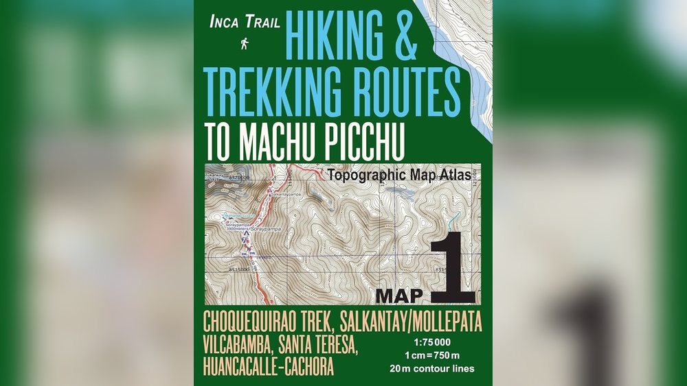
Credit: www.svadore.com
Choosing The Right Trekking Map
Trekking maps come in two main types: digital and paper. Digital maps are easy to carry and update. They often have GPS features, which help track your position. Paper maps do not need batteries and work well in remote areas. They are also good backups if your device fails.
Reading topographic features is key to using trekking maps. Contour lines show the shape of the land. Close lines mean steep slopes; wide lines mean flat areas. Symbols mark trails, rivers, and landmarks. Learning these helps you understand the terrain and plan your route safely.
Essential Navigation Tools
Using a compass effectively means understanding its basic parts and functions. Hold the compass flat in your hand and point the direction of travel arrow toward your destination. Turn the compass housing until the magnetic needle aligns with the orienting arrow. This helps you find the right path. Practice reading the compass with a map before the trek. Remember to keep away from metal objects that can affect the needle.
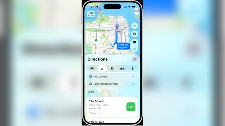
GPS devices and apps provide quick and easy navigation. They show your exact location and the trail route. Make sure to download maps offline before starting. Batteries can die fast, so carry a power bank. Use apps that work well without internet. Check the device settings for accurate tracking and save waypoints for key spots.
Backup navigation gear is crucial. Carry a paper map and a reliable compass. Pack extra batteries for GPS devices. A whistle and a flashlight can help in emergencies. These items ensure you stay safe if technology fails or weather changes.
Planning Your Trekking Route
Start by checking recent trail conditions online or at local ranger stations. Weather, trail damage, and closures affect safety and enjoyment.
Mark key landmarks like water sources, shelters, and junctions on your map. These help guide your path and provide rest spots.
Estimate travel time by calculating your average hiking speed. Use this to plan daily distances and avoid rushing.
| Task | Tips |
|---|---|
| Research Trail Conditions | Check weather, trail reports, and alerts |
| Marking Key Landmarks | Note shelters, water points, and turns on your map |
| Estimating Travel Time and Pace | Calculate average speed and adjust for terrain |
Credit: thedockbookshop.com
Map Reading Skills For Safety
Identifying terrain changes helps avoid surprises on the trail. Contour lines show elevation shifts and slopes clearly. Close lines mean steep hills, while wide lines show flat areas. This helps plan safe routes and avoid hard climbs.
Using contour lines lets trekkers understand the land shape. They can spot ridges, valleys, and cliffs. This knowledge prevents dangerous paths and keeps hikers on track.
Recognizing trail junctions stops getting lost. Trail junctions appear as points where paths meet or split. Maps mark these spots with symbols or names. Hikers can check their location and decide which way to go.
| Skill | What to Look For | Why It Matters |
|---|---|---|
| Identifying Terrain Changes | Contour line spacing | Shows steep or flat areas |
| Using Contour Lines | Shape of land features | Helps avoid cliffs or valleys |
| Recognizing Trail Junctions | Symbols or path splits | Prevents getting lost |
Navigation Strategies On The Trail
Stay on marked paths to avoid getting lost. Follow trail signs and markers carefully. These signs help guide you through safe routes. Use a map and compass to confirm your position often. Carry a physical map as a backup to digital devices.
In poor visibility, slow your pace and watch for trail markers closely. Use a compass to maintain direction if you cannot see far ahead. Wait for fog or heavy rain to clear if possible. Avoid rushing, as it can cause mistakes.
If you lose the trail, stop and stay calm. Try to backtrack to the last known marker or intersection. Use your map and compass to find your way. If unsure, stay put and signal for help if needed. Carry a whistle or mirror to attract attention.
Packing Tips For Navigation
Protecting your maps is key. Use waterproof cases or laminate them. This keeps maps safe from rain and dirt. Folding maps neatly prevents tears and creases. Carry maps in an easy-to-reach pocket for quick access. Avoid stuffing maps at the bottom of your bag.
Keep navigation gear organized. Use a small pouch or bag for compass, map, and GPS. Label compartments to find items fast. Check gear before each trek to ensure nothing is missing. This saves time and reduces stress on the trail.
| Power Management Tips |
|---|
| Carry extra batteries or power banks for digital devices. |
| Turn off devices when not in use to save battery. |
| Use airplane mode to reduce power drain when offline. |
| Consider solar chargers for longer trips. |
Safety Hacks For Trekking Adventures
Always share your trekking route with a trusted person before starting. This helps rescuers find you quickly if needed. Use apps or simple maps to show your path clearly. Carry a charged phone with emergency numbers saved.
Carry a whistle or a satellite messenger for areas without cell service. These tools help you call for help in remote spots. Learn how to use them properly before your trip.
| Weather Tip | Why It Matters |
|---|---|
| Check forecast daily | Avoid dangerous storms or extreme cold |
| Wear layers | Adjust clothing to stay warm or cool |
| Carry rain gear | Stay dry and prevent hypothermia |
| Watch sky changes | Spot signs of sudden weather shifts |
Using Technology To Enhance Navigation
Many hikers use popular navigation apps like Gaia GPS, AllTrails, and Maps.me. These apps help with route tracking and show detailed topographic maps. Downloading offline maps is important. It keeps you safe when there is no cell service. You can use apps to save maps before your trip. This way, your phone shows maps even without internet.
Integrating technology with traditional methods creates the best navigation plan. Carry a paper map and a compass as backups. Technology can fail, but paper maps do not run out of battery. Learning to read a paper map is helpful. Use your phone apps for quick checks and paper maps for detailed views. This balance keeps you confident on the trail.

Credit: www.amazon.com
Conclusion
Using a trekking map makes your hike safer and more enjoyable. Always carry a physical map and a compass for backup. Practice reading your map before hitting the trail. Keep track of your location and landmarks as you go. Planning your route carefully helps avoid confusion and saves time.
Trust your map, stay calm, and enjoy the adventure. Remember, good navigation skills are key to a successful trek. Happy hiking and safe travels!